Walk: Thurstonland, West Yorkshire
Last month, we spied an un-bagged trig point on the map. It was not far from the village of Thurstonland, which is around 4 miles south east of Huddersfield and just a 5 minute drive from Holmfirth.
Thurstonland is an old viking village, built on a high ridge. It was mentioned in the Domesday book of 1086 as Tostenland or Thorsteins Land. Better still, it has a fab pub!
This circular walk from the village centre is 2.80 miles and takes 2-3 hours. You’ll get to see some wonderful views across the Holme valley but be prepared for a couple of sharp uphill sections on the return leg.
Route description
[A] Set out from the village on a path heading north with fabulous views to the left. The path crosses three field boundaries.
[B] Approximately half a mile from the village, turn left on a path heading south west on a steep downhill.
This takes you to a railway crossing (the Sheffield to Huddersfield line) near Brockholes. Crossing over the railway, continue on a path towards the village.
[C] Emerging behind the gardens of some houses built on the path of an old dismantled railway, turn almost immediately left again onto Oakes Lane. This track climbs gently uphill before emerging onto a tarmac driveway [D].
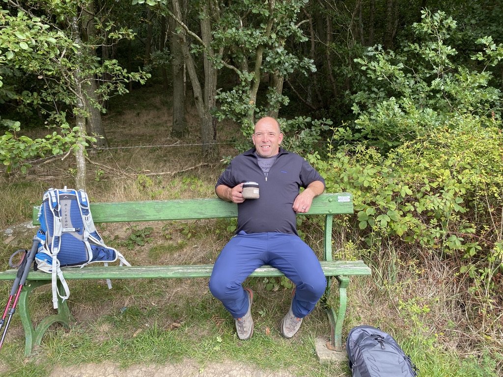
Follow the driveway to Thurstonland Bank Road (the road between the main A616 and Thurstonland village). There's a handy bench here to rest, stop, and admire the views.
Continuing on, turn right on the road, then immediate left to take a path heading downhill towards Thongsbridge. This section is a lovely meander through woodland [E], before leaving the woods to climb back uphill to a tarmac lane.
Note: if you don’t want to do this down and up meander through the woodland, there is a shortcut onto the lane by turning left from the bench.
[F] Back on the route, turn right on the lane, then first left to cross a stile at the end of the woods. The path is before the house and climbs steeply uphill to a cluster of houses called Top of the Bank.
[G] Turn right on the path, walking along the ridge with amazing views across the valley to your right. At a path intersection, turn left uphill, crossing a stile to walk back across fields to Thurstonland village [H].
The trig point is marked on the map near to this stile but, sadly, access is denied. The area is fenced off with barbed wire and a there’s a windmill in the field.
Almost bagged!
Route details
Length: 2.80 miles
Time: 2-3 hours
Difficulty: Moderate - it’s a short walk but does have a couple of sharp uphill sections at the 2 mile mark. You can miss one of these off by taking the shortcut mentioned in the description above.
Refreshments: The Rose & Crown pub in the village is a great place to grab food and drink.
Route download: Download a free GPX of the route here. Please note that it was originally mapped on OS following rights of way. It could look slightly different when using Open Source Mapping which doesn’t show every path.
Route start: What3words: begun.listed.mostly OS Grid reference: SE 164 104
Public transport: Northern Railway service to Brockholes or Bus route 341 from South Pennine Community Transport
Parking: Roadside parking in Thurstonland village
Get new adventures sent directly to your inbox. Emails usually go out every other week.
SIGN UP TO MY NEWSLETTER
Before you go…
I’ve always wanted to keep this website ad-free but web hosting and developing new content costs money, meaning I’m paying out instead of earning from the site. So, if you’ve enjoyed this post, been inspired, grabbed a route GPX download, or found something helpful, maybe you’d like to buy me a cuppa via Ko-fi. You don’t have to, but thank you if you can 🙏
Outdoor-Girl is run by Jacquie Budd, an outdoor adventure and marketing content writer for brands that care about their impact on people and the planet.


